
A powerful magnitude 7.8 earthquake struck the southern Philippines early Monday morning, causing structural damage in a major coastal city and prompting tsunami warnings across the western Pacific region.
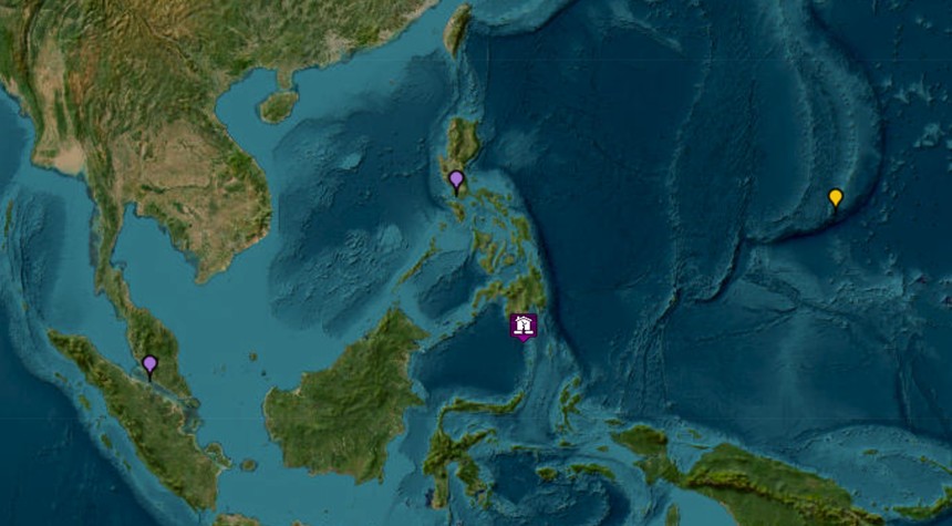
The earthquake’s epicenter was located approximately eight miles southwest of General Santos, a commercial hub of more than 700,000 residents on the island of Mindanao. The tremor occurred at 7:37 a.m. local time at a depth of 6.2 miles, according to the Philippine Institute of Volcanology and Seismology.
General Santos, known internationally for its tuna processing industry, sustained damage to at least one commercial building. A four-story office structure housing a provincial radio station branch partially collapsed, though staff members evacuated to safety without reported injuries. Whether additional individuals remain trapped in the rubble remains unclear, as the earthquake struck before normal business hours.
The Pacific Tsunami Warning Center issued warnings for multiple nations in the region, projecting potential tsunami waves reaching ten feet on some Philippine coasts. Indonesia and Malaysia faced warnings of waves up to three feet, while smaller sea level changes were anticipated for Taiwan, Japan, Guam, Papua New Guinea, and several Pacific island territories. Hawaii faced no threat, according to the center.
Teresito Bacolcol, director of the Philippine Institute of Volcanology and Seismology, issued immediate evacuation orders for coastal residents. “We advise people to evacuate to higher grounds or go further inland,” Bacolcol stated, emphasizing the urgency of the tsunami threat.
The earthquake’s effects extended beyond Philippine borders. Residents in north-central Indonesia reported feeling tremors, and tsunami waves measuring up to seven inches were recorded along coasts in North Sulawesi and North Maluku provinces.
Power outages were reported throughout affected areas, complicating initial damage assessment efforts. As of this report, no casualties have been confirmed, though the full extent of injuries or fatalities remains unknown as emergency response teams continue their work.
The region has experienced multiple aftershocks, with magnitudes reaching as high as 6.5 on the Richter scale. These secondary tremors pose additional risks to already compromised structures and complicate evacuation and rescue operations.
The Philippines sits along the Pacific Ring of Fire, a horseshoe-shaped geological zone prone to frequent seismic and volcanic activity. The archipelago nation experiences regular earthquakes, though tremors of this magnitude remain relatively uncommon and particularly dangerous given the country’s dense coastal populations.
General Santos serves as a critical economic center for southern Mindanao, and any extended disruption to its port facilities and processing industries could have significant regional economic implications. The city’s tuna industry represents a substantial portion of Philippine seafood exports.
Emergency response protocols have been activated across affected regions, with authorities working to account for residents in vulnerable coastal areas and assess the full scope of structural damage. International monitoring agencies continue tracking seismic activity and tsunami wave propagation throughout the western Pacific basin.
This remains a developing situation as daylight and improved communications allow for more comprehensive damage surveys.
Related: Israeli Military Strikes Iran Following Missile Exchange as Trump Urges Restraint